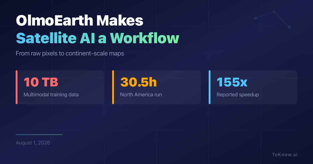
OlmoEarth is Ai2’s platform for organisations that need satellite maps but do not have a large geospatial engineering team. Its open Earth-observation models are trained on roughly 10 terabytes of multimodal satellite data, including Sentinel-1, Sentinel-2, Landsat, and derived maps. The hosted Studio handles data import, annotation, fine-tuning, deployment, and export, while the API supports dataset and prediction jobs (OlmoEarth; OlmoEarth documentation). The difficult part is not only running the model. The pipeline must find usable scenes, reproject them, read only the needed windows, and stitch the predictions into a map.
Ai2 reports a North America wildfire-risk run using 19,600 CPUs, 994 GPUs, and more than 168 GB/s of network throughput. It reduced an estimated 4,737 serial compute hours to 30.5 hours of wall-clock time, a reported 155x speedup (Ai2’s engineering account). That is parallel elapsed time, not a 155x cheaper or faster GPU, and the cost still depends on resolution, model size, cloud prices, and data transfer. Google Earth Engine and Microsoft’s Planetary Computer already provide large geospatial catalogues and cloud APIs (Earth Engine; Planetary Computer). OlmoEarth’s difference is the model-specific workflow. Its open code and dataset support self-hosting, but that path leaves preprocessing, monitoring, licences, and infrastructure to the user (code; dataset).
Read More: Four AI Projects Put Structure Before Scale
Sources:
- The OlmoEarth Platform
- OlmoEarth
- OlmoEarth documentation
- OlmoEarth pretraining repository
- OlmoEarth pretraining dataset
Disclaimer: For information only. Accuracy or completeness not guaranteed. Illegal use prohibited. Not professional advice or solicitation. Read more: /terms-of-service
Reuse
Citation
@misc{kabui2026,
  author = {{Kabui, Charles}},
  title = {OlmoEarth {Makes} {Satellite} {AI} a {Workflow}},
  date = {2026-08-01},
  url = {https://toknow.ai/posts/olmoearth-planet-scale-satellite-inference-platform/},
  langid = {en-GB}
}