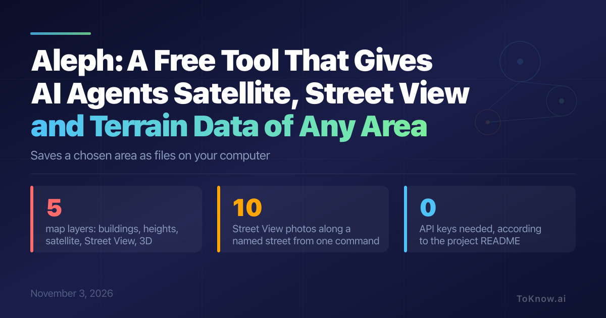
Aleph is a free tool for developers and researchers that saves a chosen patch of the real world as files on your computer, so an AI agent or a person can look at a place instead of reading about it. You draw a rectangle or polygon on a browser map, or type one terminal command for a single spot. Aleph downloads building outlines, ground heights, satellite images, Street View photos and 3D models. In the docs, one command takes ten Street View photos along a named street, and another option prints a summary of the saved files that a program can read.
The README says Aleph began as a way for AI models to gather information about the physical world. It needs only three Python libraries and no API keys, the access codes most map services ask for. Google’s official Map Tiles API serves the same Street View, satellite and 3D tiles, but only with a Google key. The other two layers, OpenStreetMap buildings and AWS Terrain Tiles heights, are open data that you can reuse if you credit the source.
Street View, satellite images and 3D models come from Google, and Google’s terms forbid bulk downloads and offline copies of Street View images, even for academic and nonprofit projects. The README also says Aleph uses undocumented APIs, so it may break or hit rate limits.
Read More: GeoLibre, a browser map tool with an AI assistant for spatial questions and OlmoEarth, Ai2’s platform that turns satellite data into maps
Sources:
- Aleph repository and README (GitHub)
- Aleph CLI reference (GitHub)
- Google Maps Additional Terms of Service
- Using Google Maps, Google Earth, and Street View: geo guidelines (Google)
- Map Tiles API overview (Google for Developers)
Disclaimer: For information only. Accuracy or completeness not guaranteed. Illegal use prohibited. Not professional advice or solicitation. Read more: /terms-of-service
Reuse
Citation
@misc{kabui2026,
  author = {{Kabui, Charles}},
  title = {Aleph: {A} {Free} {Tool} {That} {Gives} {AI} {Agents}
    {Satellite,} {Street} {View} and {Terrain} {Data} of {Any} {Area}},
  date = {2026-11-03},
  url = {https://toknow.ai/posts/aleph-satellite-streetview-terrain-data-for-llms/},
  langid = {en-GB}
}